Powering the Future of Exploration
AI-driven gravity technology built to see deeper, decide faster, and act smarter.
Why Gedex?
We are committed to driving industry leading client performance. We will dramatically reduce the time and cost to discovery!
As a recognized leader in deep sub-surface high definition airborne geological imaging – our transformational and revolutionary technology allows our clients to see below the surface of the earth to profile the target resource in a way never accomplished before. It has long been known that high definition gravity gradient measurement that will dramatically transform sub-surface imaging to identify world class resource targets. The Gedex HD-AGG™ technology is highly effective in substantially reducing both risk and cost of discovery for land and water based applications.
What We Do
Rapid, AI-Enhanced Data Interpretation
Leverage advanced AI models to process complex gravity data quickly and accurately—transforming raw measurements into actionable insights in a fraction of the time required by traditional methods.
High-Resolution Subsurface Imaging
Uncover detailed variations in the Earth’s gravity field to reveal hidden geological structures, mineral deposits, and underground features with unprecedented precision.
Versatile Deployment and Integration
Operate airborne sensors compatible with UAVs and manned aircraft, combined with a cloud-based platform that seamlessly integrates multi-source geophysical data for comprehensive analysis.

GravityX Analytics & Intelligence Platform
How Can Subsurface Gravity Intelligence Give You a Competitive Edge?
The GravityX AI Platform transforms how organizations access and understand subsurface data—powered by a domain-specific AI models built to understand and interpret gravity gradient data. Trained on vast multi-modal geophysical datasets, the system leverages deep learning, pattern recognition, and spatial reasoning to uncover subsurface features with speed and accuracy that traditional methods can’t match. From anomaly detection and fault line mapping to resource potential analysis. Designed for industries that depend on accurate geological intelligence—mining, energy, defense, and infrastructure—it streamlines the entire workflow from raw data to actionable insight. Our proprietary AI models rapidly identify potential resource zones, underground anomalies, and geohazards, enabling teams to make faster, more informed decisions.
The platform is more than just a visualization tool—it’s a fully integrated, AI-powered engine for subsurface decision-making. Users can upload raw or legacy gravity data and immediately apply advanced AI models to generate 2D/3D interpretations, identify targets, and simulate geological scenarios. With built-in support for API access, multi-source data fusion (seismic, magnetic, satellite), and secure cloud processing, the platform enables faster exploration, smarter infrastructure planning, and greater national intelligence—powered by the next generation of geoscientific AI.
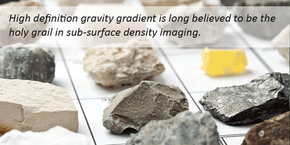
High-Definition Airborne Gravity Gradiometry
How To Transform Your Exploration Strategy
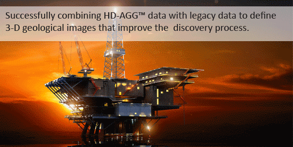
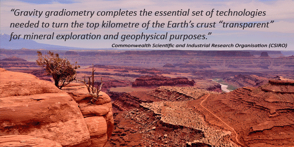
Gedex delivers immense value by reducing risk of exploration, fast-tracking best prospects and ultimately accelerating discovery success rates by providing mass and density information at a quality that no other geophysical system can. We can transform resource discovery and development by illuminating previously undetectable economic deposits. Our technology assists in detecting and defining important subsurface structures that, in combination with existing imaging techniques, create substantial value through costs savings and discoveries. The High Definition Airborne Gravity Gradiometry (HD-AGG™) data is the most significant new technology capable of transforming resource discovery to be developed in over twenty years. The HD-AGG™ system measures minute changes in the strength and direction of the Earth’s gravity field, to performance levels better than 1Eotvos (E)/√Hz, from an aircraft.
The cost effective imaging derived from this data maps changes in the subsurface geology, ranging from the near surface features to depths in the orders of kilometers. This new exploration data can be used either alone or quantitatively integrated with other geophysical imaging technologies (seismic, electromagnetics, magnetics) as well as integrated with legacy data to detect buried resources that current generations of technology cannot effectively image. Integration with HD-AGG™ data also improves other technologies, enabling a new generation of risk mitigation best practices to evolve. As a result, Gedex clients can rely on faster discoveries with lower project time, cost and risk.
Geoscience-Driven AI
AI Built for Geoscience
Our proprietary AI is purpose-built for gravity data and trained on massive geophysical datasets. It understands the nuances of gravity gradients, subsurface formations, and structural geology—making it uniquely suited for exploration, defense, and infrastructure applications. Our AI leverages a specialized models that can interpret, classify, and predict subsurface structures with unprecedented speed and consistency. This enables near real-time decision-making, reducing interpretation time from weeks to hours—without compromising accuracy. Our system improves over time. With every new dataset, it adapts to regional geology, survey conditions, and data types. Whether working with airborne, terrestrial, or historical gravity data, the platform continuously enhances its predictive power—delivering smarter insights with every use.
Built for Tomorrow
An Eye On The Future
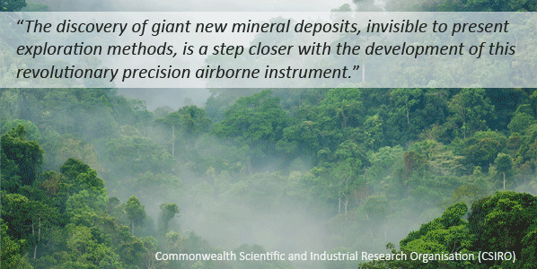
The International Energy Agency projects that gradual depletion of the most accessible reserves of natural resources is forcing companies to develop more challenging deposits. New technology like the HD-AGG® will play a critical role in imaging more demanding and complex geology. Gedex always keeps an eye on the future and is constantly adapting to the shifting trends of today’s fast-paced technology industry.
Cleaner Resource Discovery
Fostering Clean Technology
Gedex’s HD-AGG® technology is considered a clean-technology because our environmental footprint is much less intrusive than many of today’s other discovery technologies. As Gedex’s technology is flown in an aircraft, we leave no “scarring” or “footprint” on the Earth’s surface or adversely affect animal life that inhabits our world. Gedex’s technology will enable a more precise and definitive picture of where to drill or dig; the number of dry holes and unsuccessful core samplings will be materially minimized, reducing the negative footprint of each of these unsuccessful endeavors.
Today’s exploration discovery tools are ill-equipped to find deposits necessary to meet future demand, including the exploration of water and mapping of geothermal hotspots. Lithium, as an example, is difficult to discover because the deposits reside deep below the earth’s surface. Compared to other existing technologies, Gedex’s HD-AGG® technology is well suited for making such discoveries; it is not encumbered by the limitations of other technological systems.
Unmatched Subsurface Clarity
Superior Imaging
The HD-AGGTM system, with its exceptionally low-noise, high-resolution measurements, provides significant advantages to the exploration community. Gedex’s cryogenic-based AGG technology makes use of superconducting techniques to provide imaging resolution that is superior to all existing operational fixed-wing AGG systems based on room-temperature technologies.
Decisions with Certainty
Significantly Reduced Risks
Compared to competing airborne gravity gradiometers, Gedex’s HD-AGG® measurements are significantly less corrupted by erroneous noise effects, and are therefore capable of achieving more accuracy in identifying the signatures of mineral and petroleum targets. In virtually every application studied, the lower noise of the Gedex system reduced erroneous features, representing lower exploration risk and promising significantly fewer false positives when identifying drilling targets.
Targeted with Precision
Cost Effective
Gedex has spent over a decade mitigating the technology risk associated with the HD-AGG® system. Recent validation tests, flown over known geology, have produced performance levels better than all other fixed-wing AGG systems currently in use. The HD-AGG® system therefore has the potential to make the exploration process significantly faster, cheaper, less intrusive and more efficient. Reduced risk, as a result of using Gedex’s highly advanced system, also leads to significant positive economic impact by lowering exploration costs.
Faster Insights, Maximum Outputs
Highly Efficient
Gedex’s new exploration data can be used either alone or quantitatively integrated with other geophysical imaging technologies, such as seismic, electromagnetic, and magnetic technologies. It can also be integrated with legacy data to detect buried resources that current generations of technology cannot effectively image. Integration with HD-AGG® data also improves other technologies, enabling a new generation of risk mitigation practices to evolve. As a result, Gedex clients can rely on faster discoveries with lower project time, cost and risk.
Smarter with Every Scan
Constantly Improving
In the fast-changing world of technology, Gedex strives to be a step ahead, constantly looking for ways to enhance and improve its systems. Although Gedex believes it will be able to capture meaningful portions of the existing market with its current system, the Gedex team is committed to continually endeavor to innovate and integrate ground-breaking research and technologies into its systems, to grow our future market share, and grow the overall market